Protect forestsat scale
Real-time forest monitoring with AI. Detect threats, track biodiversity, preserve nature for future generations.
Trusted by leading conservation organizations








Conservation Impact at Scale
Trusted by conservation organizations worldwide. Powered by nature-first technology.
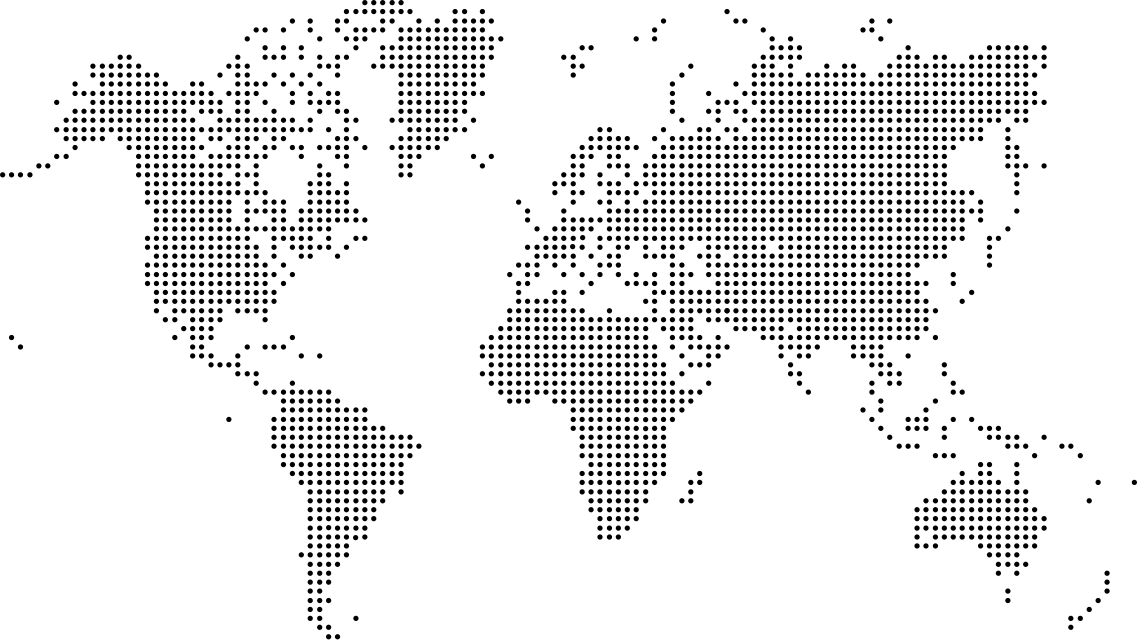
Conservation Projects Worldwide
Monitoring and protecting critical forest ecosystems across five continents
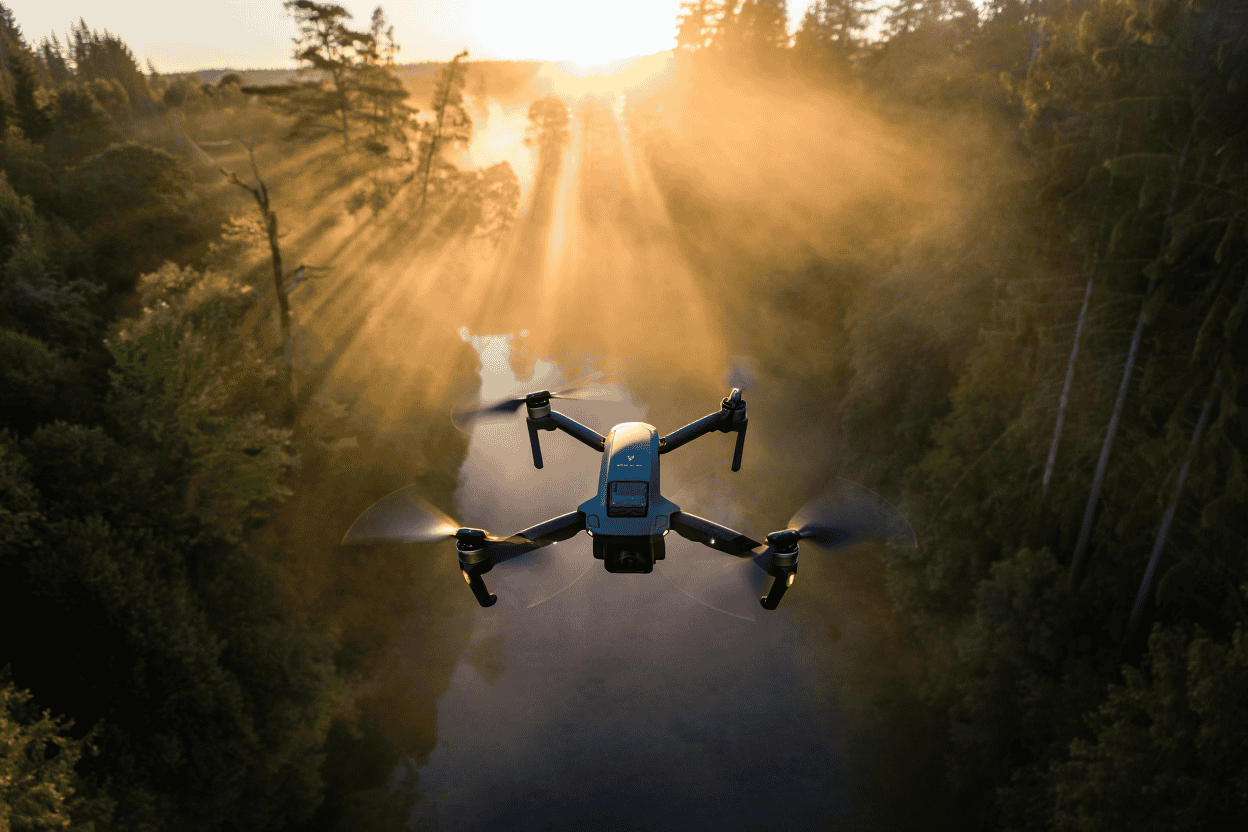
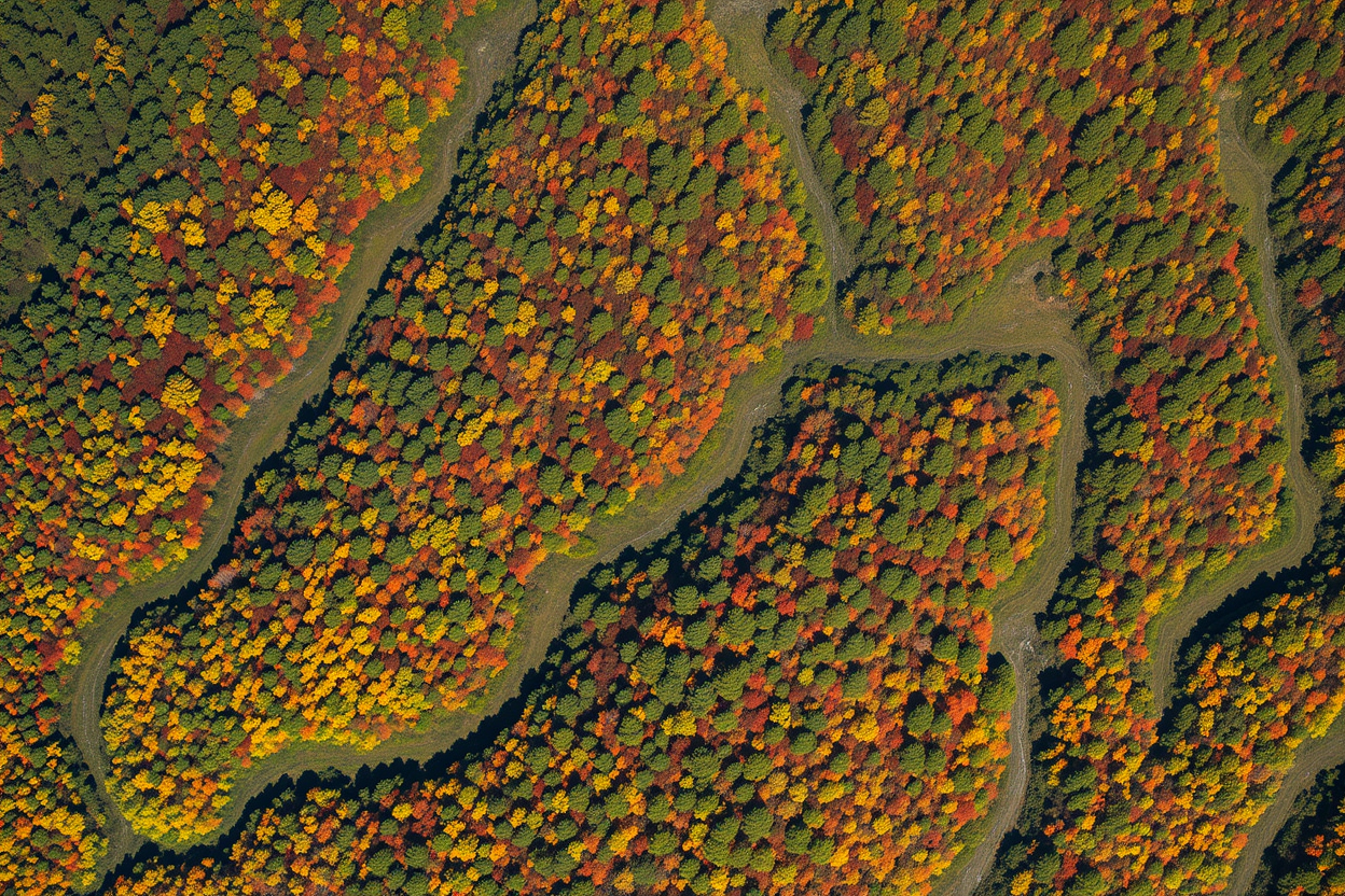
Every forest ecosystem matters
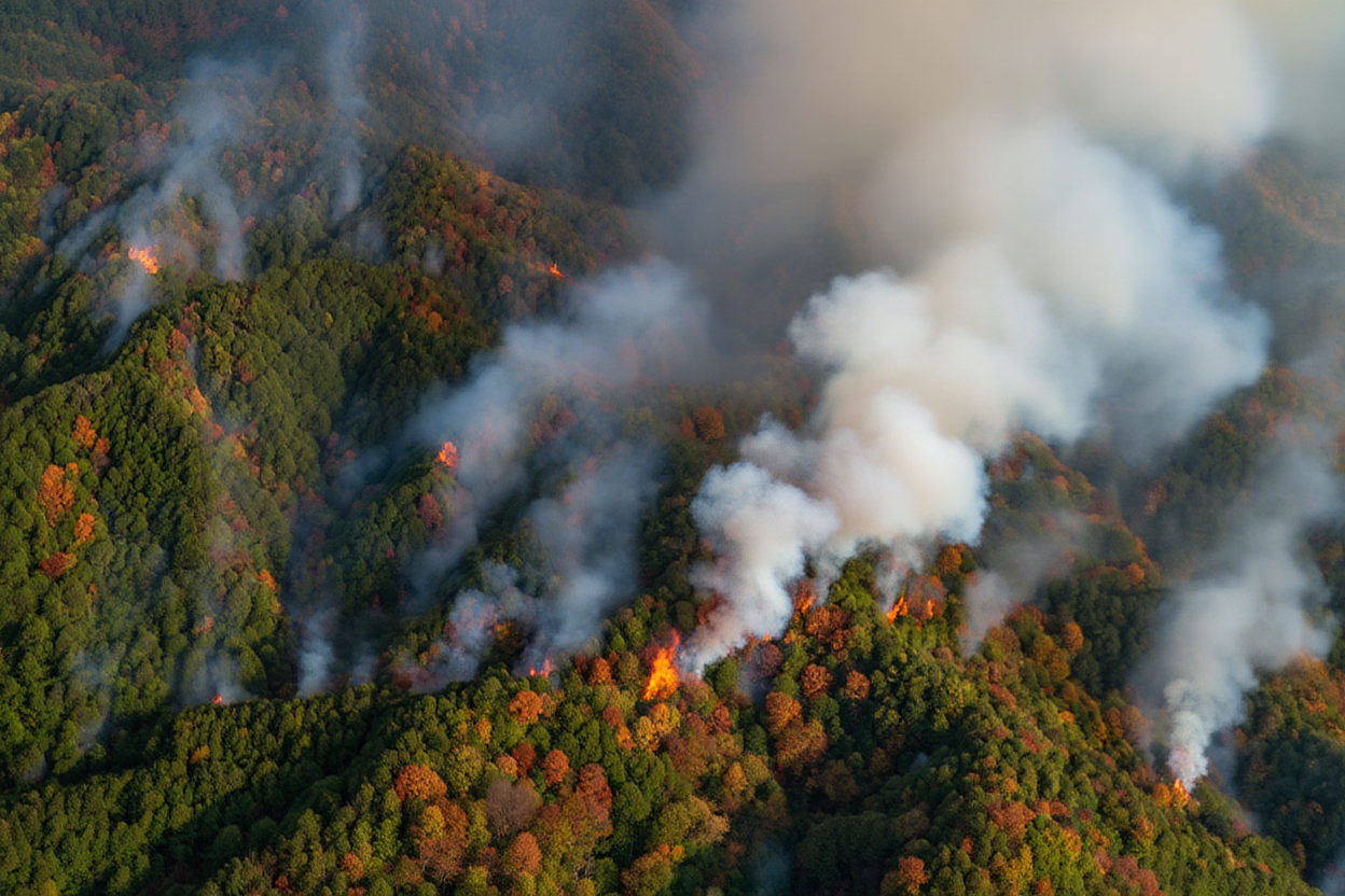
Our satellite and AI technology monitors biodiversity, detects illegal logging, tracks deforestation patterns, and alerts teams in real-time. Preservation at the speed of nature demands.
Got questions?
Practical answers about Terra Loop and our landscape intelligence platform.
Our platform uses a network of satellites combined with AI algorithms to analyze forest coverage in real-time. We detect changes as small as 0.5 hectares within 24 hours, allowing for rapid response to threats like illegal logging or forest fires.
Terra Loop can be configured for restoration and conservation programmes wherever suitable satellite and field data are available. Coverage is confirmed during project scoping.
Our AI-powered threat detection achieves a 99.4% accuracy rate. We use machine learning models trained on millions of satellite images to distinguish between natural changes and human-caused deforestation or illegal activities.
Yes, TERRA offers a comprehensive API that allows seamless integration with existing conservation management systems, GIS platforms, and alert systems. Our documentation provides detailed guides for implementation.
We offer tiered pricing based on coverage area and feature requirements. Non-profit conservation organizations may qualify for discounted rates or grants. Contact our team for a customized quote based on your needs.
There are several ways to contribute: donate to support monitoring of unprotected regions, volunteer for on-ground verification teams, or partner with us as a corporate sponsor. Every contribution helps protect critical ecosystems.
Join the global conservation movement
Together, we're building a sustainable future. Start protecting forests today.